Southern Idaho’s snowpack and water levels heading into the heat of summer are at median ranges, and its reservoirs are nearly completely full. While reservoir and snowpack levels mostly affect Idaho’s agriculture industry, they also impact recreationists and indicate the general health of the state’s ecosystems.
Snowpack and Water Year Levels
The Boise River watershed is sitting at almost an exactly median water year to date precipitation, according to data from the first of the month. Most drainages across the state are similarly healthy, with the Weiser and Payette River basins slightly above their median levels.
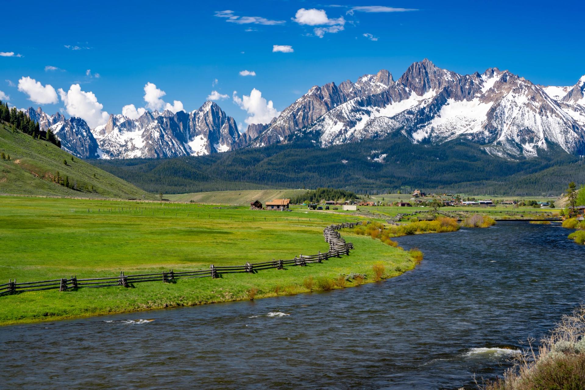
After a slightly warm spring of average precipitation, snowpack levels across the southern part of the state are almost all zeroed out. In the northern parts of the state, the Salmon River, Payette River, and Boise River watersheds still have healthy amounts of snow as they melt into the summer.
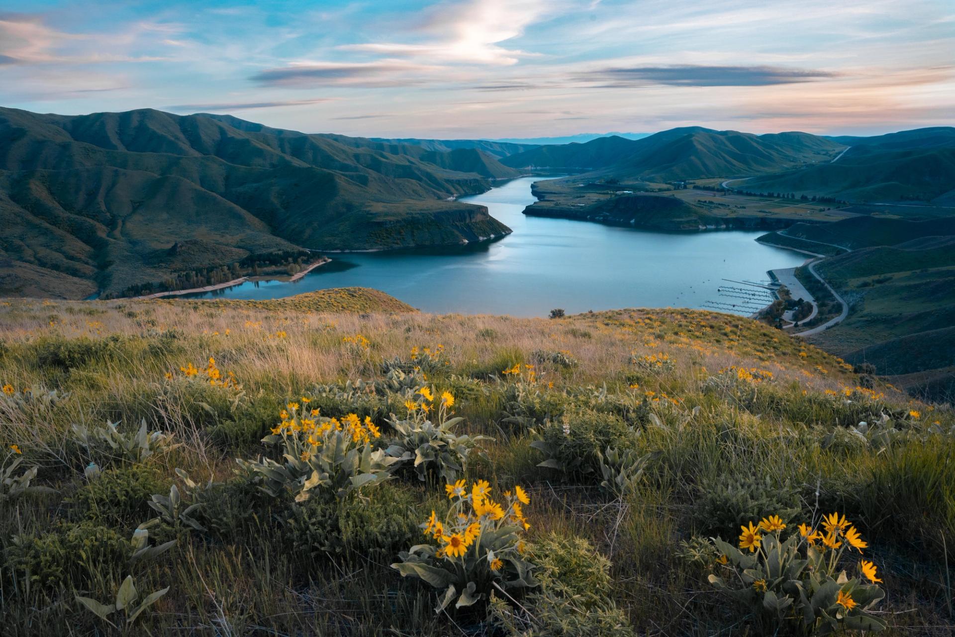
A healthy snowpack is resulting in nearly full reservoirs across the region. (US Bureau of Reclamation)
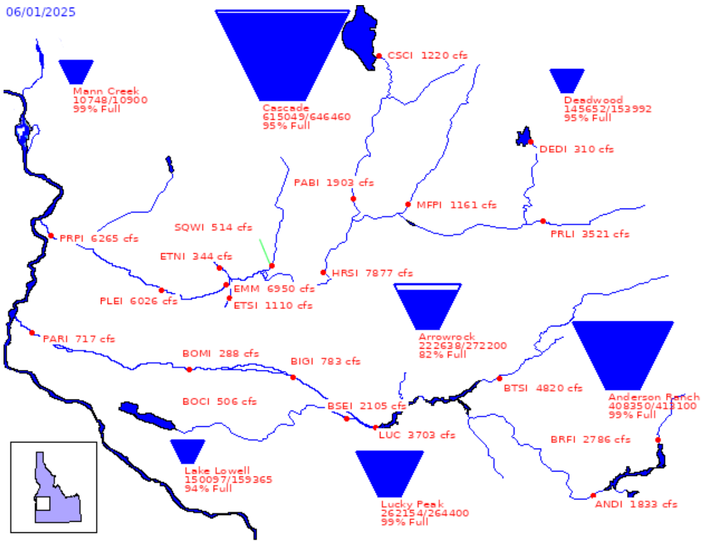
Reservoirs & River Levels
Reservoir “teacups” show how full reservoirs are, and the teacups are looking good going into summer! Lucky Peak Reservoir, for example, is 99% full, as is Anderson Ranch Reservoir farther up the Boise River basin.
With most of the snowpack in the Boise River watershed melted, the reservoirs are slowing their outflow to manage irrigation later in the season. Which means that the Boise River flow through the City of Trees is on the decline, nearing safe levels to float likely later this month or in early July.