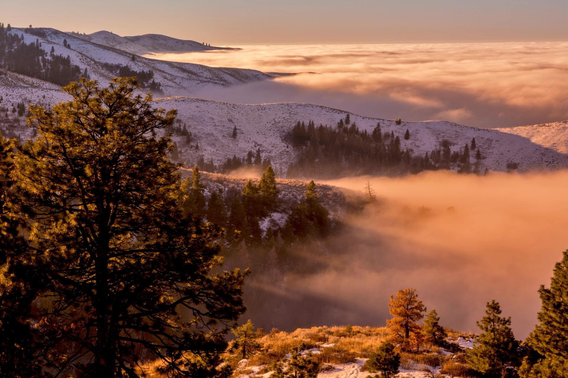
As terrible as freezing rain sounds, at least the storm rolling in this weekend means an end to the inversion. So what was that fog, and why does it happen more often than snow during Boise winters?
What is a Temperature Inversion?
Air is typically colder at higher elevations, but an inversion occurs when a combination of factors traps cold air near the ground, inverting the normal air patterns.
Those factors include less heat coming from the sun in the winter because of shorter days. Also, the ground stays cold and is unable to warm the air. Finally, low winds or complete stagnation means there’s nothing to push the lower air out, or mix the colder and warmer air. We’re left in the valley with bone-chilling humidity, while a short drive out of town can not only take you above the inversion, but into warmer temperatures as well.
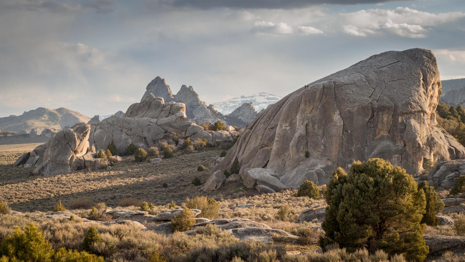
The Boise Foothills also help to limit the air’s movement. A good comparison is Salt Lake City, where steeper, taller mountains help trap air that’s more polluted than Boise’s, leading to even more intense inversions than those we experience in the City of Trees.
Health Impacts and What’s Next
As fog and low clouds are trapped under warmer air, pollutants are also trapped in the valley. While Boise’s air quality never exceeded “moderate” during the most recent inversion, prolonged exposure to fine particulates like smoke, dust, and chemicals increase health effects.
You can always keep an eye on Boise’s air quality index here.
A cold front is moving in this weekend, which will bring rain and possibly snow in some areas, but also warmer temperatures as the cold air trapped near the ground is circulated.