One year ago, Boise woke up to a shiny new approval from city councilfor a plan to increase the city’s walkability.
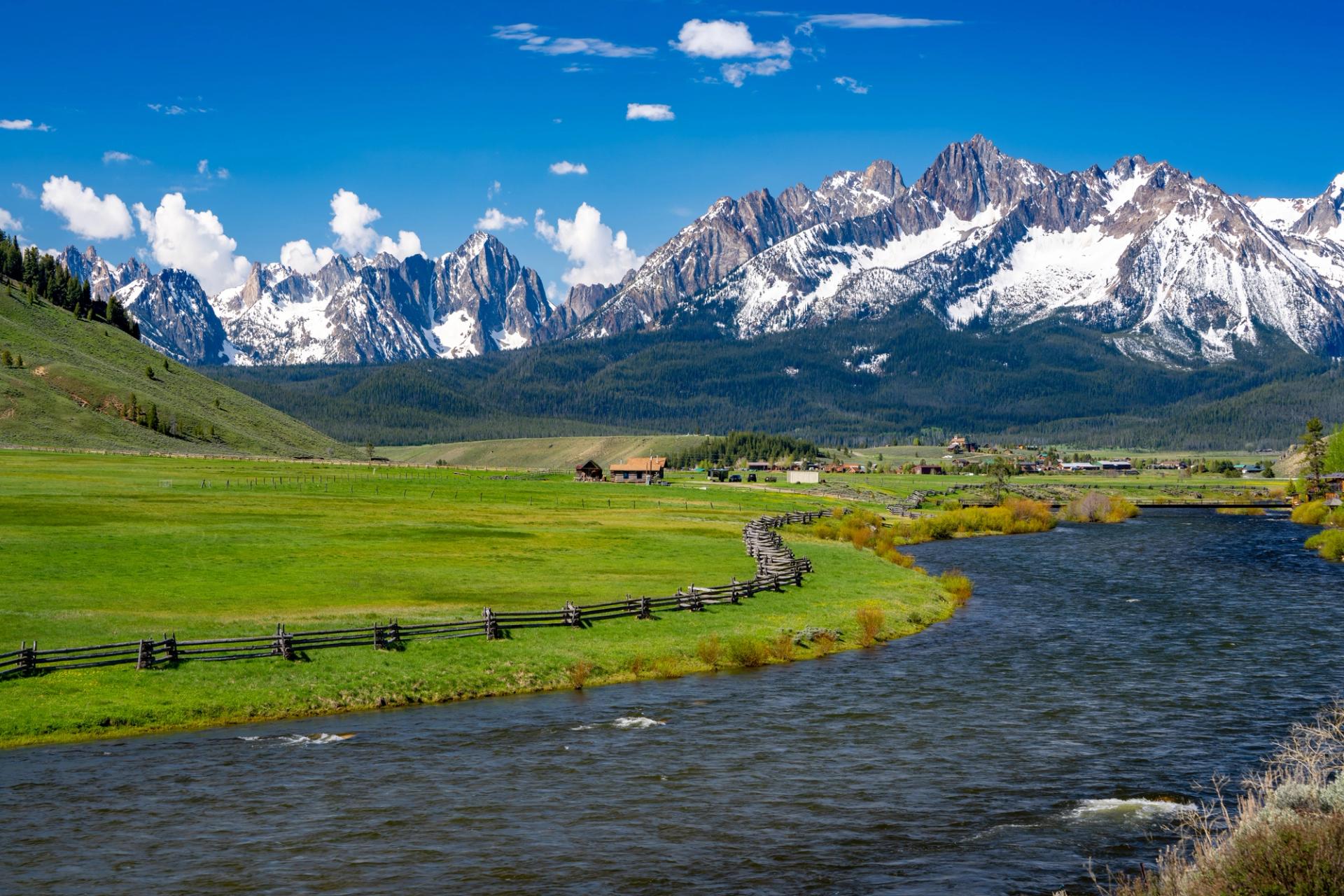
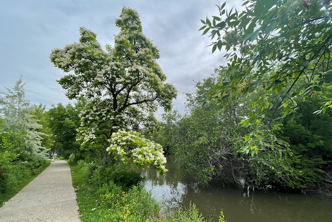
The Greenbelt is over a half-century old, and is one of Boise’s most important amenities. But the city is working to expand its pathways further up the river banks and throughout the city.
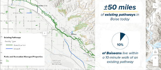
Enter the Boise Pathways Master Plan. It’s a years-long project that we’re probably not even in the middle of yet.The main goal of the plan is that, after the development of over 110 miles of new pathways, the percentage of Boiseans living within a ten minute walk of a path will increase from 10% to 76%.
That means that there could be a newer (or at least nicer and safer) pathway coming by your place!
But it’s a massive investment of a projected $26.7 million. Yet the jobs, local business revenue, cutback on vehicle exhaust and pollution, not to mention the health benefits of walking or biking for transportation, all solidly outweigh the cost, according to the city.
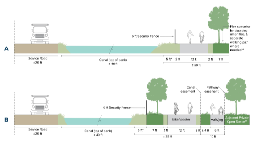
This pathway cross section shows a couple of the ways that new or expanded pathways will use canal banks to increase walkability. (City of Boise)
One of the highest priority projects (among which there are dozens) is the Ridenbaugh Canal pathway. It’s a good example of one of the projects, so let’s break it down to get a sense for what it’ll look like.
- Across the city, the plan aims to use existing canal banks to build pathways — this is one of those.
- The Ridenbaugh path will start at Cole Road by the Boise Towne Square Mall.
- Running east, it will cross Milwaukee Street, coming within a couple blocks of Florence Park.
- It will then cross Maple Grove Road, and end at Five Mile Road after paralleling Franklin Road for a while.
- This brings the pathway within a few blocks of Horizon Elementary School.
- If I lost you there, don’t worry — it’s on page G-3 of the master plan.
So take a look at the plan and the interactive map, and see what might be coming near you!